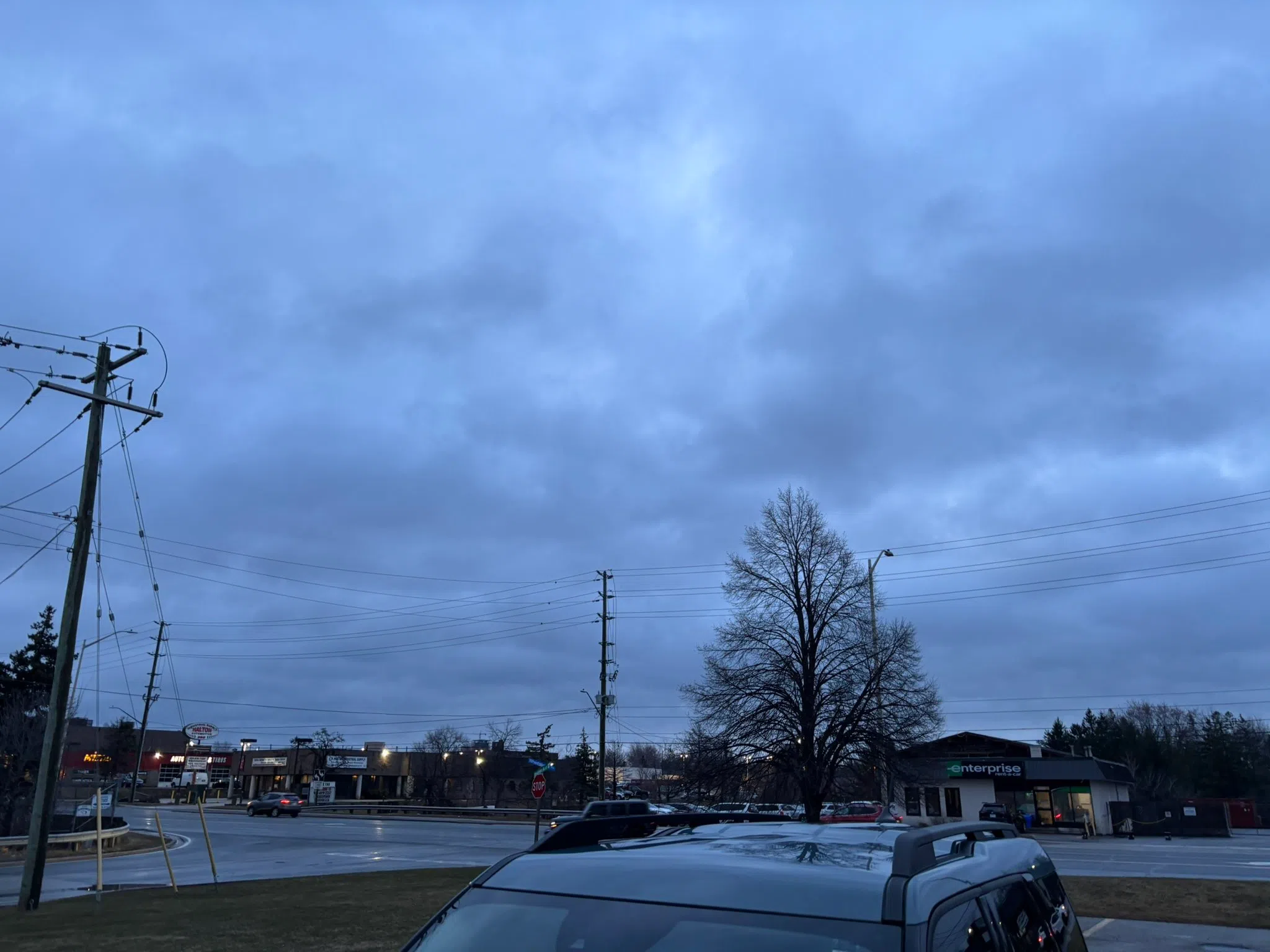
It’s been a surprisingly warm morning.
A Special Weather Statement is in effect for the area following the weekend’s ice storm:
“The ice storm left anywhere from 10 to 25 mm of ice on trees and hydro lines. Although temperatures have risen above freezing and the ice may have melted in some areas, strong winds gusts may result in further impacts.”
Here is your South Simcoe forecast for this new week, per Environment Canada:
| Date | Detailed Forecast |
|---|---|
| Today | Cloudy. 60 percent chance of showers this morning and early this afternoon. Fog patches dissipating this morning. Wind southwest 20 km/h gusting to 40 becoming northwest 20 gusting to 40 late this morning. Temperature falling to plus 1 this afternoon. UV index 2 or low. |
| Tonight | Cloudy. Wind northwest 20 km/h gusting to 40. Low minus 5. Wind chill minus 11 overnight. |
| Tue, 1 Apr | Clearing in the morning. Wind north 20 km/h gusting to 40. High plus 1. Wind chill minus 12 in the morning. UV index 5 or moderate. |
| Night | Cloudy periods. Low minus 6. |
| Wed, 2 Apr | Periods of snow. High plus 3. |
| Night | Showers. Low plus 4. |
| Thu, 3 Apr | Cloudy with 30 percent chance of showers. High 18. |
| Night | Cloudy. Low minus 1. |
| Fri, 4 Apr | Cloudy. High 8. |
| Night | Increasing cloudiness. Low minus 1. |
| Sat, 5 Apr | Cloudy. High 6. |
| Night | Periods of rain or snow. Low plus 1. |
| Sun, 6 Apr | Periods of snow or rain. High plus 5. |
If you have a news tip or story idea, you can now send us a heads up via email at:
- News1013@LocalRadio.ca (Milton)
- News1015@LocalRadio.ca (Orangeville)
- News92@LocalRadio.ca (South Simcoe)
If you’d like to get ahold of me personally, shoot me a message at Cameron.Wilkinson@LocalRadio.ca. We’re in the business of content creation, so no idea is a bad idea.